Aquarium Inf

Biotopes of South America - River Topography

Biotopes of South America

2. River Topography

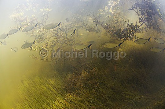
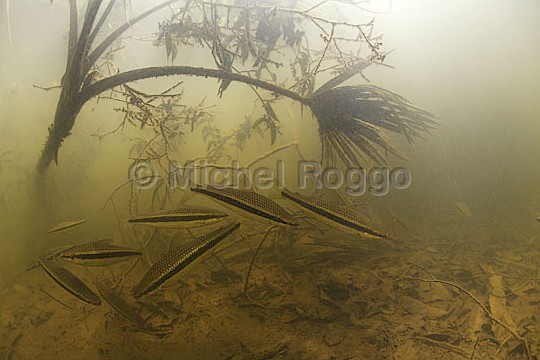
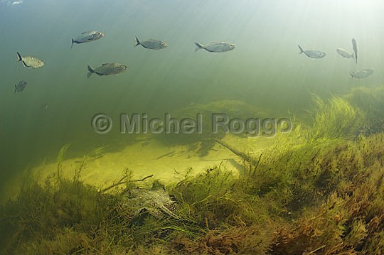
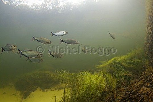
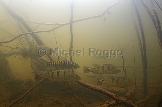
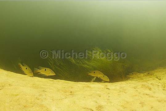
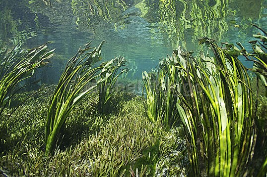
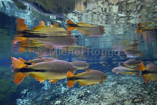
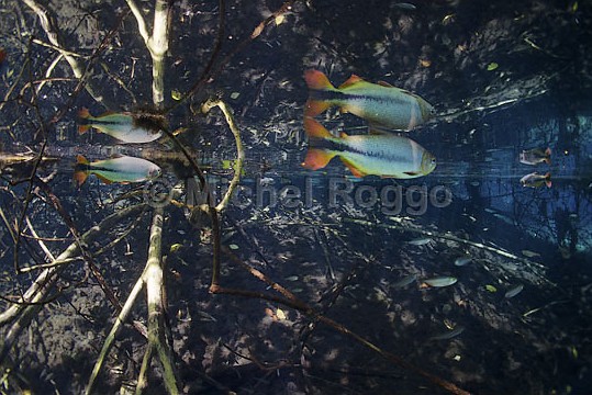
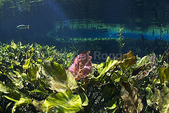
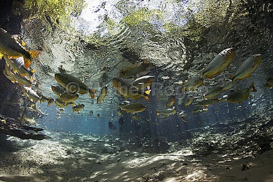
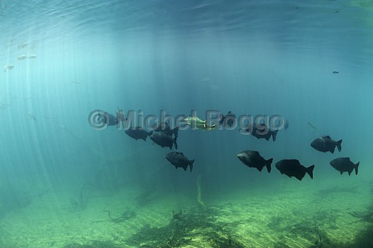
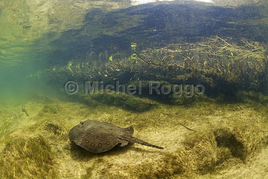
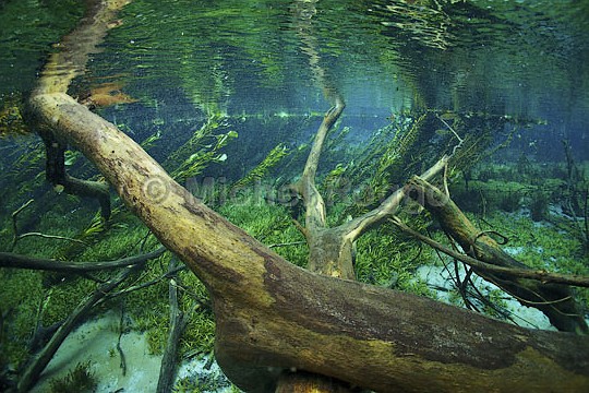
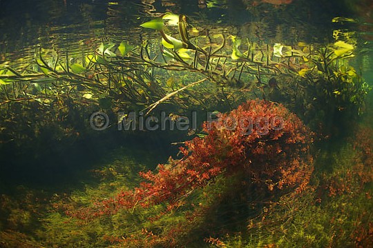
The Amazon and its tributaries can be divided into five different types of water streams, which differ in terms of water color, ecological properties, and resident organisms. Besides these types, there's a large number of rivers, streams and tributaries with mixed features, which cannot be clearly classified. The first scientific classification of Amazonian waters was developed in 1950 by Sioli, who used the following parameters to categorize the hydrological features of these waters: water color, transparency, pH, and electrical conductivity. This way he distinguished white (whitewater), black (blackwater), and clear streams (clearwater). These types are the reference for aquarists from around the world creating aquariums of South American biotopes.

Amazon Biotope
source: http://all4aquarium.ru/en/events/jbl-biotope-contest-2014/entries - Kamil Habibullin, Russia
  1. White waters (i.e. whitewater) – in fact these are muddy, turbid waters (yellow or brownish), less transparent due to the presence of mud, silt and other nutrient-rich sediments washed from steep, rocky mountains (mainly sands and clays). The upper sections of the Amazon, colloquially known as Rio Solimoes (Rio Maranon, Rio Ucayali, Rio Putumayo, Rio Jurua, Rio Japura, Rio Purus with tributaries), the river's main course and the Rio Madeira tributary with most of its tributaries are representatives of these waters in South America. An interesting fact is that every year over 1000 tons/km² of sediments are washed down from the mountains and they flow towards the Atlantic Ocean with such impetus that they permanently color the waters of the Amazon until its mouth, and even deep into the ocean. Floodplains within these rivers are characterized by high fertility (alluvial soils) and are locally called varzeas.
  2. Black waters (i.e. blackwater) – these are transparent waters, tea-colored, dark, due to the river bed substrate – Mesozoic bleached sandstones. The coloration of the water is also affected by natural tannins – tannins abundantly present in the forest litter (leaves, bark, nuts) and humic acids. These types of waters are mostly found on the Guiana Highlands, while their typical representatives among larger tributaries of Amazon are: the Rio Negro with tributaries, Rio Cururu (a tributary of Rio Tapajos), Rio Manicore (a tributary of Rio Madeira). Floodplains within these rivers are characterized by low fertility (sandy soils) and are locally called igapos.
    Rio Negro igapos
    source: http://www.roggo.ch/thefreshwaterproject/ - Michel Roggo
    Rio Negro igapos
    source: http://www.roggo.ch/thefreshwaterproject/ - Michel Roggo
    Rio Negro igapos
    source: http://www.roggo.ch/thefreshwaterproject/ - Michel Roggo
    Rio Negro igapos
    source: http://www.roggo.ch/thefreshwaterproject/ - Michel Roggo
    Rio Negro igapos
    source: http://www.roggo.ch/thefreshwaterproject/ - Michel Roggo
    Rio Negro igapos
    source: http://www.roggo.ch/thefreshwaterproject/ - Michel Roggo
  3. Clearwaters – rivers that are no different from the rivers we know – they have a blue-green color, high clarity. They are characterized by a strong current, which to a small extent washes out deposits from a difficult to dissolve substrate. These types of rivers are mainly found on the Brazilian Plateau, they also include the following tributaries of the Amazon: Rio Tapajos, Rio Xingu and Rio Aripuana and Rio Ji-Parana (tributaries of the Rio Madeira river). The floodplain areas within these rivers are characterized by low fertility (sandy soils) and are locally referred to as igapos.
    Clearwater Mato Grosso do Sul
    source: http://www.roggo.ch/thefreshwaterproject/ - Michel Roggo
    Clearwater Mato Grosso do Sul
    source: http://www.roggo.ch/thefreshwaterproject/ - Michel Roggo
    Clearwater Mato Grosso do Sul
    source: http://www.roggo.ch/thefreshwaterproject/ - Michel Roggo
    Clearwater Mato Grosso do Sul
    source: http://www.roggo.ch/thefreshwaterproject/ - Michel Roggo
    Clearwater Mato Grosso do Sul
    source: http://www.roggo.ch/thefreshwaterproject/ - Michel Roggo
    Clearwater Mato Grosso do Sul
    source: http://www.roggo.ch/thefreshwaterproject/ - Michel Roggo
  4. Floodplains – these are naturally flat areas located along the main course of the Amazon and its tributaries in the Amazon Basin, which are flooded twice a year during the rainy season. These areas are covered by humid equatorial forests, also known as tropical jungle or rainforest. The rainy season lasts about 200 days a year. During this time, the width of the river reaches about 48 km, its level rises by 15 meters, and the floodplains can even reach up to 70 km from its bank. So even 100,000 km² of forests are flooded. These floods enrich the forest soil with fertile muds and sediments and cause a huge migration of animals – including fish. These conditions have forced animals and plants to adapt to them. Hence the tangle of support roots in trees, adaptation of fish to breaking nuts (large mouths and powerful jaws e.g. in piranhas), adaptation of fish to live in an environment poor in oxygen (intestinal breathing e.g. in catfish), etc.
    Wetlands Pantanal
    źródło: http://www.roggo.ch/thefreshwaterproject/ - Michel Roggo
    Wetlands Pantanal
    źródło: http://www.roggo.ch/thefreshwaterproject/ - Michel Roggo
    Wetlands Pantanal
    źródło: http://www.roggo.ch/thefreshwaterproject/ - Michel Roggo
    Wetlands Pantanal
    źródło: http://www.roggo.ch/thefreshwaterproject/ - Michel Roggo
    Wetlands Pantanal
    źródło: http://www.roggo.ch/thefreshwaterproject/ - Michel Roggo
    Wetlands Pantanal
    źródło: http://www.roggo.ch/thefreshwaterproject/ - Michel Roggo
  5. Oxbow lakes – i.e. lakes, usually crescent-shaped, which are a fragment of the former riverbed, formed as a result of change in its course and cutting them off from the current current. Most of the lakes in the Amazon Basin are indeed oxbow lakes.
    This type of reservoirs usually does not have a constant connection with the river, and what follows, their waters are classified as standing waters (no flow). They are usually small and shallow, growing vegetation and they can disappear due to the accumulation of sediments and muds (landfilling).
    Similarly to floodplain lakes, oxbow lakes have clear, warmer water, where aquatic and muddy plants quickly develop and which constitute a breeding ground for larvae and fry of many species of fish. In the waters of this type, the amount of oxygen and its temperature changes with depth, and the substrate is a thick layer of sediments covered with a layer of organic substances and vegetation in various stages of decomposition.